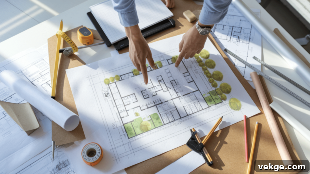
Mastering Site Planning: A Comprehensive Guide to Transforming Land into Functional Spaces
Every undeveloped parcel of land holds boundless potential. Before the first shovel breaks ground, meticulous site planning is absolutely essential. This foundational process determines the strategic arrangement of buildings, infrastructure, green spaces, and circulation paths, setting the stage for how a property will function and evolve over many years. For property owners, aspiring developers, or anyone fascinated by the creation of well-ordered environments, understanding this intricate process offers invaluable insight into the transformation of raw land into vibrant, purposeful spaces.
This critical initial phase of development profoundly shapes a property’s long-term utility, aesthetic appeal, and environmental footprint. Each stage—from the detailed study of the land’s inherent characteristics to the final regulatory approvals—plays a vital role in creating spaces that not only meet practical needs but also seamlessly integrate with their natural and built surroundings. This guide simplifies the complex site planning process into easy-to-follow steps, providing you with the fundamental knowledge required to understand how an empty plot of land can be meticulously designed and developed into highly functional and aesthetically pleasing environments.
What is Site Planning in Architecture and Development?
Site planning is a multidisciplinary process involving the careful analysis, organization, and design of land areas for future construction and use. It transcends merely placing structures on a map; it’s about crafting integrated environments. This discipline focuses on the strategic arrangement of all elements within a given site, including buildings, pedestrian and vehicular circulation paths, open spaces, landscaping, and utilities, all with the goal of creating functional, aesthetically pleasing, and sustainable environments that serve their intended purpose effectively and efficiently.
Why Effective Site Planning is Crucial for Project Success
Site plans are far more than just drawings; they are fundamental documents at the inception of any construction project, providing a robust foundation for informed decision-making. They offer a holistic overview that guides professional teams—from architects and engineers to contractors and landscape designers—through the entire development process with unparalleled clarity and precision. The importance of a well-executed site plan cannot be overstated, as it impacts nearly every aspect of a project’s lifecycle.
A thoughtfully developed site plan ensures the logical organization of all essential elements within the property. It meticulously establishes optimal routes for access and circulation, ensuring that people and vehicles can move efficiently and safely throughout the space while strictly adhering to safety standards and minimizing potential conflicts. This includes planning for emergency vehicle access, service routes, and pedestrian-friendly pathways.
Strategic building placement is another cornerstone of thorough site analysis. The planning process identifies ideal locations for structures that harmonize with the natural landscape, maximize desirable views, optimize sunlight exposure, and create functional, energy-efficient interior and exterior spaces. This careful positioning can significantly reduce energy consumption, enhance occupant comfort, and boost property value.
Water management stands as a critical component meticulously addressed through comprehensive site planning. By diligently studying topography, soil conditions, and existing drainage patterns, professionals can design effective stormwater management systems. This proactive approach directs rainwater appropriately, preventing destructive flooding issues, minimizing erosion, and mitigating potential water damage to structures and surrounding ecosystems. Sustainable drainage solutions, such as permeable pavements and rain gardens, are often integrated.
Furthermore, the creation of intimate or secluded areas within a development comes through thoughtful and intentional site planning. The strategic placement of structures, the careful selection and positioning of vegetation, and the integration of various landscape features collaboratively help establish distinct zones that offer privacy, comfort, and a sense of enclosure for occupants, enhancing the overall quality of life and user experience within the planned environment.
Significant Benefits of Comprehensive Site Planning
Effective site planning is the bedrock upon which successful developments are built. It creates spaces that function with exceptional efficiency while simultaneously respecting and often enhancing natural features. It serves as the indispensable foundation for all subsequent construction decisions, ensuring that projects achieve both optimal practical utility and profound environmental compatibility, leading to long-term value and sustainability.
Planning for the Big Picture: Strategic Oversight and Compliance
Site planning provides a comprehensive, aerial view of how all components on a property interact and function as a unified whole, rather than isolated elements. This broad, strategic perspective proves absolutely essential during various phases of development projects, from initial concept to final occupancy. It allows stakeholders to visualize the project’s entirety and anticipate challenges and opportunities.
When applying for essential building permits, regulatory officials demand detailed site plans. These plans are rigorously assessed for compliance with local safety standards, infrastructure requirements, and environmental regulations. The planning process rigorously helps verify that proposed developments meticulously adhere to local zoning regulations, building codes, and any other pertinent legal stipulations well before significant financial investment in construction begins. This preventative approach is invaluable, as it saves considerable time, avoids costly rework, and conserves precious resources by identifying and addressing potential compliance issues early in the project lifecycle, preventing delays and legal complications.
Additionally, well-crafted and visually compelling site plans serve as exceptionally effective communication tools. They are instrumental when presenting development proposals to a diverse range of stakeholders, including investors, prospective buyers, community groups, neighboring property owners, and municipal planning boards. These clear visual representations precisely convey development intentions, facilitate productive discussions about project impacts and benefits, and help build consensus, ultimately streamlining the approval process and fostering community acceptance.
Facilitating Collaboration for Clients and Teams
Clear and accessible site plans are vital for effectively articulating complex design ideas to both clients and the diverse building teams involved in a project. When all parties can visually comprehend the planned layout, they gain a deeper understanding of the design intent, fostering greater confidence in the project’s vision. This transparency significantly reduces questions, mitigates concerns, and minimizes potential misunderstandings.
Effective visual presentations of site plans substantially facilitate communication among all stakeholders. The inherent clarity of well-produced diagrams, comprehensive maps, and realistic renderings enables team members—including architects, engineers, contractors, and specialized subcontractors—to grasp intricate concepts quickly and accurately. This shared, unambiguous understanding establishes a strong foundation for productive discussions, collaborative problem-solving, and informed decision-making throughout every stage of the development process, from initial design iterations to final construction.
Furthermore, detailed site plans play a crucial role in preventing misunderstandings that could lead to costly errors, delays, and disputes during the construction phase. When contractors and subcontractors can reference precise, clearly annotated documentation, they are empowered to implement the design exactly as intended, minimizing the need for assumptions or guesswork. This high level of accuracy in communication translates into smoother project execution, better alignment with the original design vision, and ultimately, a more successful and cost-effective development.
Key Elements Every Comprehensive Site Plan Must Include
A comprehensive and effective site plan must meticulously include specific components to ensure absolute clarity, completeness, and utility for all involved parties. The following elements are not merely suggested but are absolutely essential for effective site planning documentation, serving as a universal language for development projects:
- Title, Scale, and North Point: Essential for clear identification of the project, accurate representation of dimensions relative to the real world, and precise directional orientation, which is crucial for understanding sun paths and wind direction.
- Property Lines and Boundaries: Precise delineation of legal property limits, including exact dimensions, bearings, and critical setbacks from property lines required by zoning regulations.
- Placement of Buildings: Exact locations, footprints, dimensions, and proposed heights of all existing and proposed structures on the site, including their relationship to each other and property lines.
- Existing Natural Features: Comprehensive documentation of all existing natural elements such as trees (specifying type and caliper), significant vegetation clusters, geological slopes, rock outcrops, soil conditions, and water bodies like streams, ponds, or wetlands.
- Utilities and Infrastructure: Detailed locations and capacities of existing and proposed utility lines, including water supply lines, electrical connections, gas lines, sewer systems (sanitary and storm), communication systems (fiber optics, telephone), and points of connection.
- Circulation Elements: Clear planning of access roads, internal driveways, parking areas (with specific stall counts and dimensions), pedestrian walkways, bike paths, fencing, retaining walls, and outdoor lighting fixtures.
- Regulatory Notations: Explicit information about local zoning restrictions (e.g., maximum height, lot coverage, FAR), easements (utility, access), rights-of-way, flood plain designations, and other legal requirements that govern development.
- Drainage Patterns: Detailed analysis and mapping of existing surface water flow directions, proposed stormwater management features (e.g., retention ponds, bioswales, French drains), and strategies to prevent erosion and flooding.
- Grading Plan: Visual representation of existing land contours (typically dashed lines) and proposed finished land contours (solid lines) with elevation changes, indicating cut and fill areas to achieve desired site levels.
- Landscape Elements: Detailed plans for proposed softscape (plantings, lawns, gardens) and hardscape (patios, plazas, outdoor seating), recreational areas, public art installations, and overall open spaces.
- Construction Phasing: A sequential breakdown of development stages, indicating which parts of the project will be built at what time, especially relevant for large or complex multi-stage developments.
- Environmental Considerations: Identification of protected areas, significant wildlife habitats, critical conservation zones, heritage trees, and any required environmental mitigation measures.
How to Create a Site Plan: A Step-by-Step Methodology
Creating an effective and comprehensive site plan requires a methodical and structured approach, progressing through several critical phases. Here’s a structured, step-by-step methodology to develop a robust site plan that addresses all necessary considerations and facilitates a successful project:
Step 1. Conduct a Thorough Land Survey
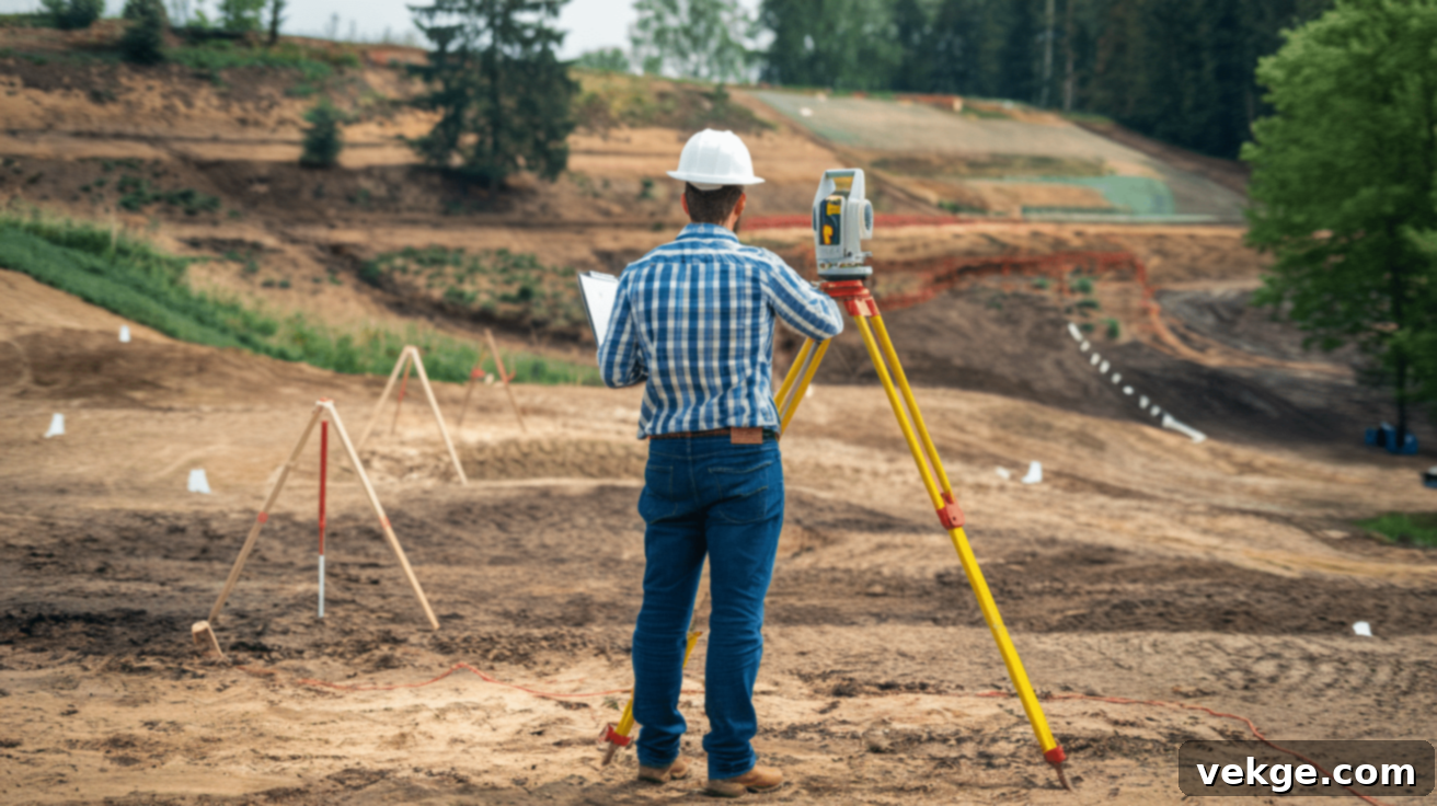
The initial and most fundamental step is to conduct a detailed land survey. Professional land surveyors provide essential data about the site’s existing conditions, including its precise topography (elevation changes), soil conditions, and significant natural features. This survey accurately measures elevation changes, identifies existing drainage patterns, locates utility easements, and notes environmental factors (such as mature trees or wetlands) that will undeniably impact subsequent development decisions. This data forms the foundational layer of information for your site plan.
Step 2. Precisely Mark Property Boundaries
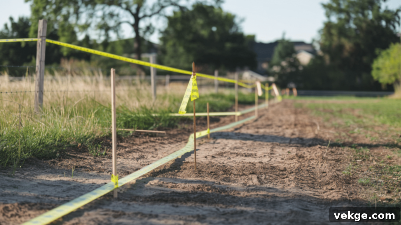
Clearly and accurately defining property boundaries is absolutely fundamental to any development project. Legal property lines, as determined by the land survey and official records, must be precisely measured, documented, and clearly indicated on the site plan. This critical step helps prevent future complications, legal disputes with adjacent landowners, and ensures that all proposed development strictly adheres to legal property limits and required setbacks, avoiding encroachments.
Step 3. Map Out All Existing Features
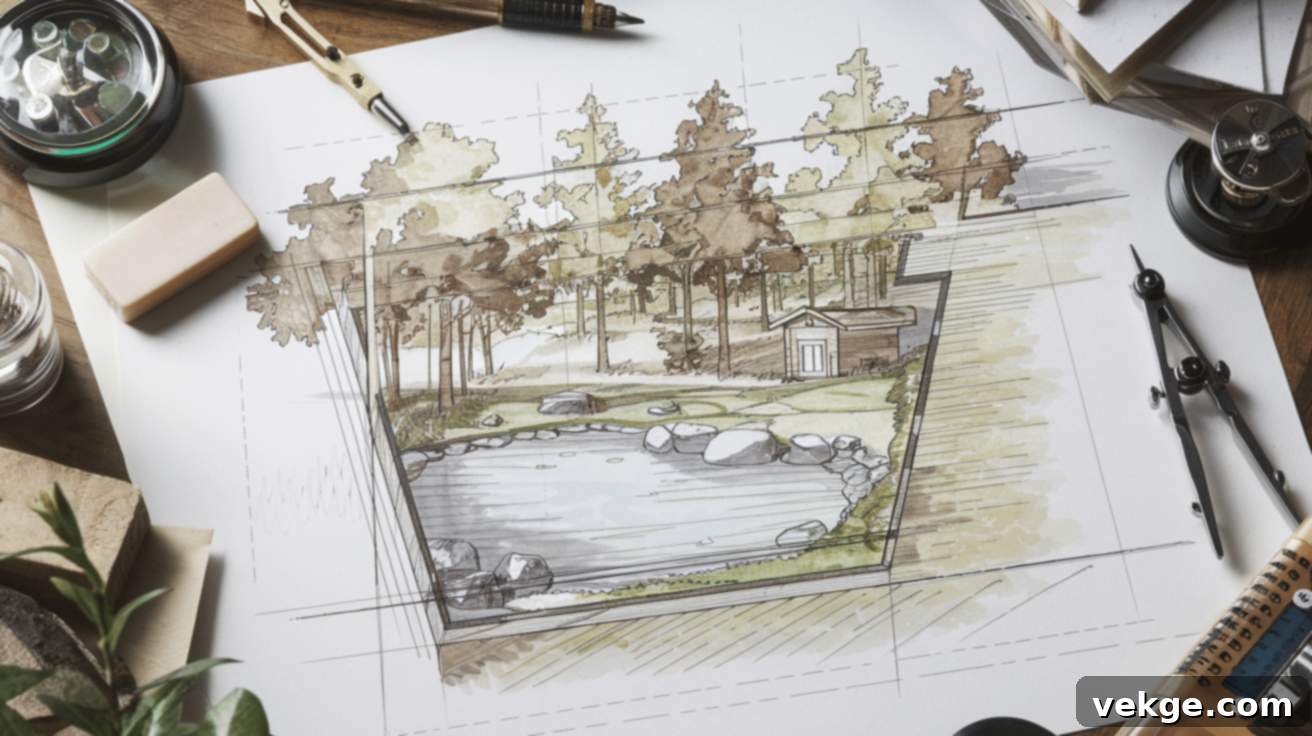
Following the boundary definition, meticulously document all current site elements. This includes every existing feature, whether natural or man-made: all trees, significant vegetation, water bodies, existing structures, roads, fences, and crucial utility lines (water, sewer, gas, electric, communications). This comprehensive baseline inventory is invaluable, as it helps planners strategically work with, integrate, or design around these existing features, minimizing disruption and maximizing efficiency.
Step 4. Strategically Place Buildings and Structures
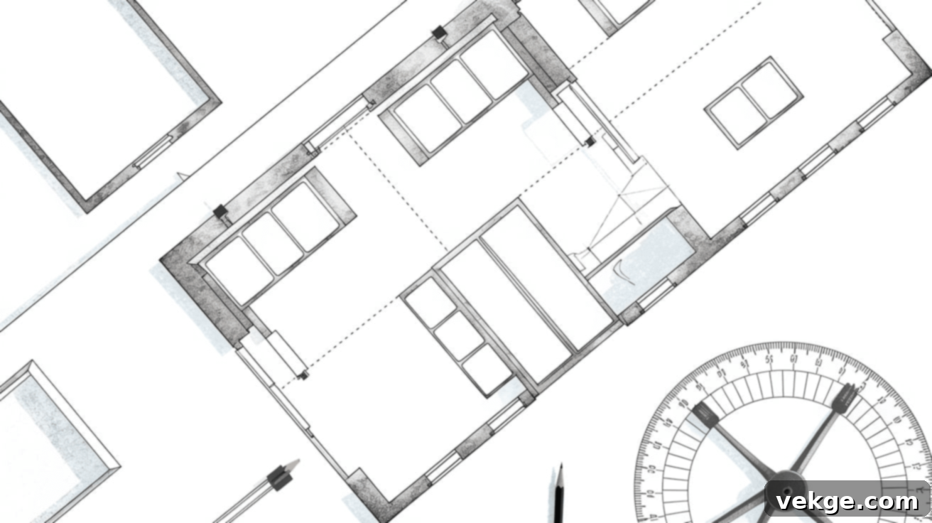
This pivotal step involves determining the optimal locations for all proposed structures. These decisions are based on a thorough analysis of site conditions, including topography, solar orientation (for maximizing natural light and energy efficiency), prevailing winds, desirable views, and the functional relationships between different buildings and external spaces. Careful consideration of building placement is essential, as it significantly affects internal circulation, privacy for occupants, operational efficiency, and overall aesthetic appeal of the development.
Step 5. Integrate Roads, Utilities, and Landscape Elements
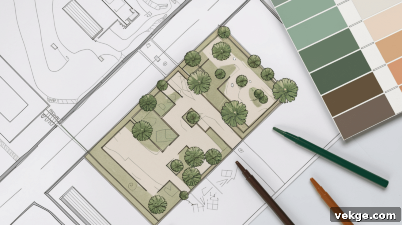
Once structures are placed, plan all external connections. This includes designing access routes, internal roads, parking areas, and pedestrian pathways to ensure logical, safe, and efficient circulation throughout the site. Crucially, accurately depict utility connections and their routes from the main supply points to service areas within buildings. Furthermore, integrate landscaping elements such as planned vegetation, trees (which provide shade, visual appeal, and ecological benefits), and other softscape features that enhance the environment, manage stormwater, and provide aesthetic value.
Step 6. Label Everything with Precision and Clarity
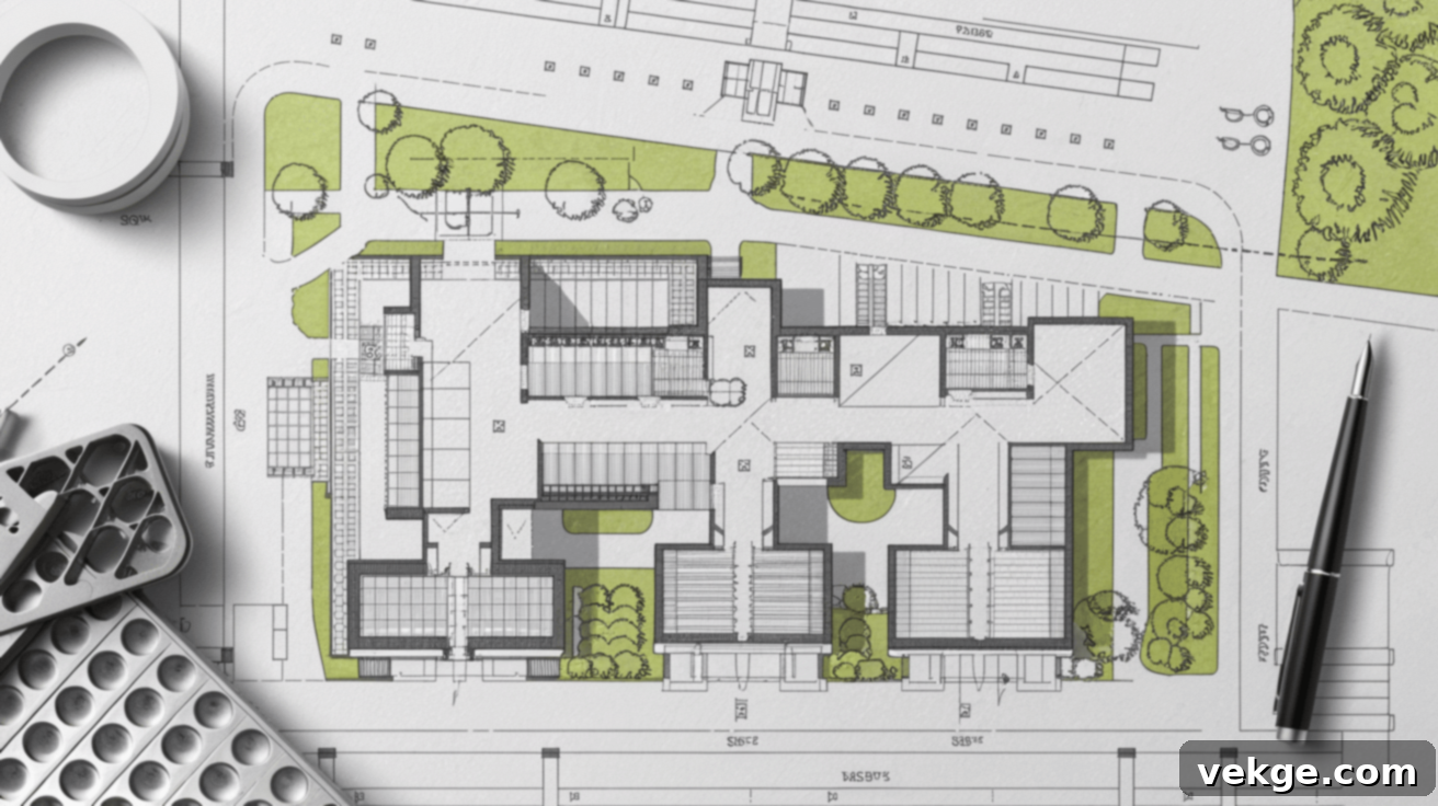
A highly effective site plan must be unequivocally clear. Use consistent notation, standardized symbols, and precise annotations to identify all site elements. Include critical dimensions (lengths, widths, heights), specify materials (e.g., asphalt for roads, concrete for walkways), and add any other specifications that will accurately guide construction teams during the implementation phase. A clear legend should accompany the plan, explaining all symbols and abbreviations used, ensuring universal understanding.
Step 7. Thoroughly Review Zoning and Permit Regulations

Before finalizing the plan, a comprehensive review against all local regulations and requirements is paramount. Verify that every aspect of the proposed plan meets local zoning ordinances, building codes, environmental protection acts, and any specific permit conditions. This includes checking setbacks (minimum distances from property lines), height restrictions, maximum lot coverage limits, parking requirements, and any other zoning parameters that control development. This diligent review minimizes the risk of costly delays, redesigns, or even rejection of the project.
Tools and Software Essential for Modern Site Planning
Modern site planning relies heavily on specialized tools and software applications that empower professionals to create highly accurate, detailed, and comprehensive site plans. These advanced applications not only enable the efficient analysis of complex site conditions but also significantly facilitate seamless communication and collaboration among diverse project team members, from initial concept to final construction documentation.
Here are some of the top tools widely used in the industry, each offering unique strengths:
- Cedreo: Highly regarded for its capabilities in creating compelling 3D plans and renderings, making it excellent for client presentations and spatial visualization.
- SketchUp: A versatile and popular choice known for its user-friendly interface for both 2D drafting and sophisticated 3D modeling, ideal for conceptual design and detailed spatial planning.
- AutoCAD: The long-standing professional standard for detailed 2D drafting and precise technical plans, offering robust tools for engineering, architectural, and landscape drawings.
- Revit: A powerful Building Information Modeling (BIM) software that helps connect site plans directly to integrated building models, enhancing coordination, clash detection, and overall project efficiency.
- GIS Software (e.g., ArcGIS): Essential for geographic data analysis, layering various data sets (e.g., topography, soil, zoning, environmental), and performing complex spatial analysis for large-scale planning projects.
While some basic drawing tools and conceptual design software offer free versions, more advanced and professional-grade options typically require a subscription or one-time purchase. Many leading programs provide free trials, allowing users to test their features and assess their suitability before committing to an investment.
Essential Site Planning Considerations for Sustainable Development
Effective site planning necessitates meticulous attention to a myriad of influential factors that collectively dictate the success, sustainability, and long-term viability of any development project. A comprehensive site assessment critically identifies both the environmental conditions and the inherent constraints that must be thoroughly addressed and intelligently integrated into the planning process.
1. Topography and Land Shape: Adapting to the Landscape
The existing configuration of your land, particularly its topography and general shape, profoundly influences construction possibilities and design choices. Site planners must pay careful attention to variations in ground levels, slopes, and overall landforms across the property. Areas with higher and lower elevations naturally create distinct divisions within a site, affecting views, accessibility, and potential for excavation.
Steep slopes, for instance, often require specialized and more costly construction techniques for stability, such as retaining walls or stepped foundations, and may limit certain types of development. Conversely, relatively flat regions present ideal spots for structures, minimizing complex earth-moving operations and significantly reducing associated construction costs. Understanding topography also guides decisions about drainage, road alignment, and the creation of usable outdoor spaces.
2. Soil Types and Their Impact on Construction
The composition and characteristics of the soil beneath a site are paramount, directly impacting foundation design, drainage, and overall structural integrity. A thorough geotechnical investigation is often required to identify the specific soil types present and their engineering properties:
- Sandy Soil: This granular soil drains exceptionally well but may lack sufficient bearing capacity and can be prone to shifting or liquefaction under certain conditions. It often requires specific foundation designs, such as deep foundations or ground improvement techniques, to ensure long-term stability.
- Clay Soil: Clay soil is characterized by its fine particles and high plasticity, meaning it retains water extensively. It expands significantly when wet and contracts when dry, which can exert immense stress on structures without proper planning for expansive soils, often necessitating specialized moisture barriers or engineered foundations.
- Rocky Terrain: While offering excellent bearing capacity, rocky terrain typically needs extensive site preparation, including costly rock removal (blasting or breaking) or bedrock modification to create suitable, level building surfaces.
- Loam Soil: Considered ideal for most construction projects, loam soil combines sand, silt, and clay in balanced proportions. It offers good drainage, excellent workability, and sufficient stability for foundations, minimizing the need for extensive soil modifications.
- Peat Soil: This highly organic soil has a very low bearing capacity and compresses significantly under weight. It is notoriously challenging for construction, often requiring substantial ground improvement, pile foundations extending to stable strata, or complete removal and replacement of the peat layer.
- Silt Soil: Possessing fine particles similar to clay but with less plasticity, silt soil holds moisture and can become unstable and highly compressible when wet. It demands careful water management strategies, compaction, and potentially specific foundation designs to prevent settlement issues during and after development.
3. Water Flow and Comprehensive Drainage Strategies
The movement and management of water profoundly affect development outcomes and site sustainability. A thorough assessment identifies how rainfall flows naturally across the property, highlights zones with potential flooding risks (including floodplains), and accurately determines the depth of groundwater tables beneath the site. These critical hydrological factors must be intelligently integrated into site plans to protect buildings, infrastructure, and ecological systems from water damage.
Effective drainage strategies include designing appropriate grading, implementing stormwater management features such as bioswales, retention ponds, permeable pavements, and green roofs, and ensuring proper connection to municipal storm sewer systems. Managing water flow not only prevents damage but can also enhance the site’s ecology by replenishing groundwater and supporting native vegetation.
4. Utilities and Infrastructure Accessibility
Understanding the availability and proximity of existing utilities and infrastructure is a fundamental consideration. This includes assessing the accessibility of municipal water lines, sanitary sewer systems, storm drains, electrical grids, natural gas lines, and telecommunication networks. The cost and feasibility of extending these services to the proposed development site can be a major factor in project viability.
Site plans must detail the proposed routes for all new utility connections, ensuring efficient service delivery while minimizing disruption. Coordination with utility providers early in the planning process is crucial to avoid delays and ensure that the site design accommodates necessary easements and service access points.
5. Vegetation and Wildlife: Ecological Integration
The existing plant and animal life present on a development site requires careful attention and ecological sensitivity during the planning process. Significant existing large trees, particularly mature specimens or heritage trees, should be marked for preservation and thoughtfully integrated into the overall design. Any protected plant species, endangered flora, or unique ecological communities must be identified, their locations meticulously documented, and appropriate protection measures implemented according to local regulations and environmental impact assessments.
Furthermore, critical wildlife habitats, migration corridors, or sensitive ecological zones that require protection should be accurately mapped and respected in the final site plan to maintain ecological balance, promote biodiversity, and comply with environmental legislation. Integrating native plantings can also enhance the local ecosystem.
6. Local Climate and Prevailing Weather Patterns
Local climate conditions and prevailing weather patterns significantly influence building placement, orientation, and overall design strategies during site planning. Analyzing sun exposure patterns (solar path, shading) helps determine optimal building orientation to maximize natural light, reduce heating or cooling loads, and enhance passive solar design strategies for energy efficiency.
Wind direction assessment informs structural decisions, influences the design of outdoor spaces, and guides natural ventilation options for buildings. Furthermore, understanding temperature variations across the site (microclimates) throughout the year can guide material selection and building forms to create comfortable and resilient spaces, even in extreme weather conditions.
7. Cultural and Historical Factors: Preserving Heritage
Many development sites inherently contain elements with meaningful connections to the past and contribute significantly to community identity. Existing structures that represent significant architectural craftsmanship, historical periods, or cultural significance should be carefully assessed for preservation or adaptive reuse whenever possible. Areas that have played important roles in local history, or sites with archaeological potential, can add depth and unique character to new developments.
Spaces that hold importance for community gatherings, traditions, or local narratives merit careful integration into site plans, ensuring that new developments respect and enhance, rather than diminish, the cultural fabric of the area. Engaging with local historical societies and community groups is often a vital step.
8. Surrounding Land Use and Contextual Integration
The nature of the surrounding properties and existing land uses significantly impacts development choices and design solutions. Properties situated close to main thoroughfares, for instance, may experience considerable traffic noise and pollution, necessitating sound-reduction solutions or strategic building placement to create quieter interior and exterior spaces. Adjacent structures can limit natural light access, obstruct desirable views, or create undesirable shadows, directly affecting building placement and window design decisions.
Furthermore, nearby operations such as agricultural fields, active industrial facilities, or bustling commercial centers might produce effects (e.g., odors, vibrations, light pollution) that require careful consideration and mitigation strategies in your site planning process to ensure compatibility and minimize negative impacts on the new development and its occupants.
Common Mistakes to Avoid in Site Planning
Even seasoned professionals can overlook critical details. Avoiding these common pitfalls is essential for a smooth and successful property development project:
- Ignoring Comprehensive Water Management: One of the most common and costly mistakes is neglecting to thoroughly understand and plan for existing and proposed drainage patterns. Ignoring ground contours, soil permeability, and natural water flow can lead to severe future structural and landscape challenges, including foundation damage, erosion, basement flooding, and costly remediation efforts. Always invest in a detailed hydrology study and integrate sustainable stormwater solutions.
- Skipping or Insufficient Soil Evaluation: Underestimating the importance of a detailed geotechnical soil investigation is a critical error. Different ground compositions demand specific, tailored construction approaches, foundation designs, and material choices. Failing to conduct proper soil testing can result in foundation failures, differential settlement, structural instability, and massive unexpected expenses.
- Overlooking Neighboring Property Considerations: Developing in isolation without adequately studying adjacent properties and their existing structures, uses, and potential impacts is a recipe for unexpected complications. This can lead to conflicts over privacy, sunlight access, views, noise, and shared resources. Always consider buffer zones, visual impacts, and maintain open communication with neighbors.
- Non-Compliance with Regulatory Requirements: Local building codes, zoning ordinances, environmental regulations, and permit requirements are complex and non-negotiable legal mandates. One missed regulation or an incorrectly interpreted rule can halt your entire project, trigger hefty fines, incur significant financial penalties, and necessitate extensive and expensive redesigns. Engage with local authorities early and often.
- Failing to Achieve Planning Balance (Too Complex vs. Overly Simple): Striving for extreme approaches—either an excessively complex plan or an overly simplistic one—can equally jeopardize a project. Too complex plans can become impractical to implement, expensive to maintain, and difficult to manage. Conversely, overly simple strategies often miss critical project requirements, neglect important site opportunities, or fail to address potential challenges effectively. Seek a thoughtful, adaptable, and balanced strategy that is robust yet flexible.
Final Thoughts on the Power of Site Planning
Site planning stands unequivocally as the critical first step and the foundational cornerstone in any successful development process. It is far more than a technical exercise; it’s an art and a science of envisioning how human activity can harmoniously coexist with the natural environment. Good planning empowers professionals to work in concert with natural conditions, leveraging the site’s inherent strengths rather than attempting to fight against them.
A thorough and nuanced understanding of your site’s unique characteristics—including its constraints, opportunities, and latent potential—paired with diligent and careful planning, lays an exceptionally solid and resilient foundation for everything that follows. The methodical approaches and detailed considerations outlined in this guide are designed to help you create plans that are not only practical, straightforward, and easy to implement but also sustainable, resilient, and enduring.
Ready to apply these powerful concepts to your next project? Begin with a comprehensive site analysis, delving deeply into both the limitations and the exciting opportunities your land presents. Remember, the time, effort, and resources invested in quality planning at the outset invariably pay substantial dividends throughout the entire construction phase and, most importantly, for the longevity and success of the development far into the future.
